MEDICAL MILE
P L A C E M A K I N G I N I T I A T I V E
Springfield’s Medical Mile — the stretch of National Avenue between East Sunshine Street to the north and James River Freeway (U.S. Route 60) to the south — contains 2.8 miles of businesses, including two major hospitals, multiple traffic lanes and three of the largest intersections in the city. The corridor is often visitors’ first — and sometimes only — impression of Springfield.
Creating public spaces along the Medical Mile that are welcoming, safe and accessible will enhance the district’s identity, promote economic activity and improve the quality of the experience for visitors and residents.
The purpose of this initiative is to empower community members to develop their own placemaking projects for the Medical Mile district. Placemaking is for everyone. It’s a collaborative problem-solving approach to improving the quality of public spaces — powered by the very people most impacted by the space.
“the community is the expert.”
— Project for Public Spaces
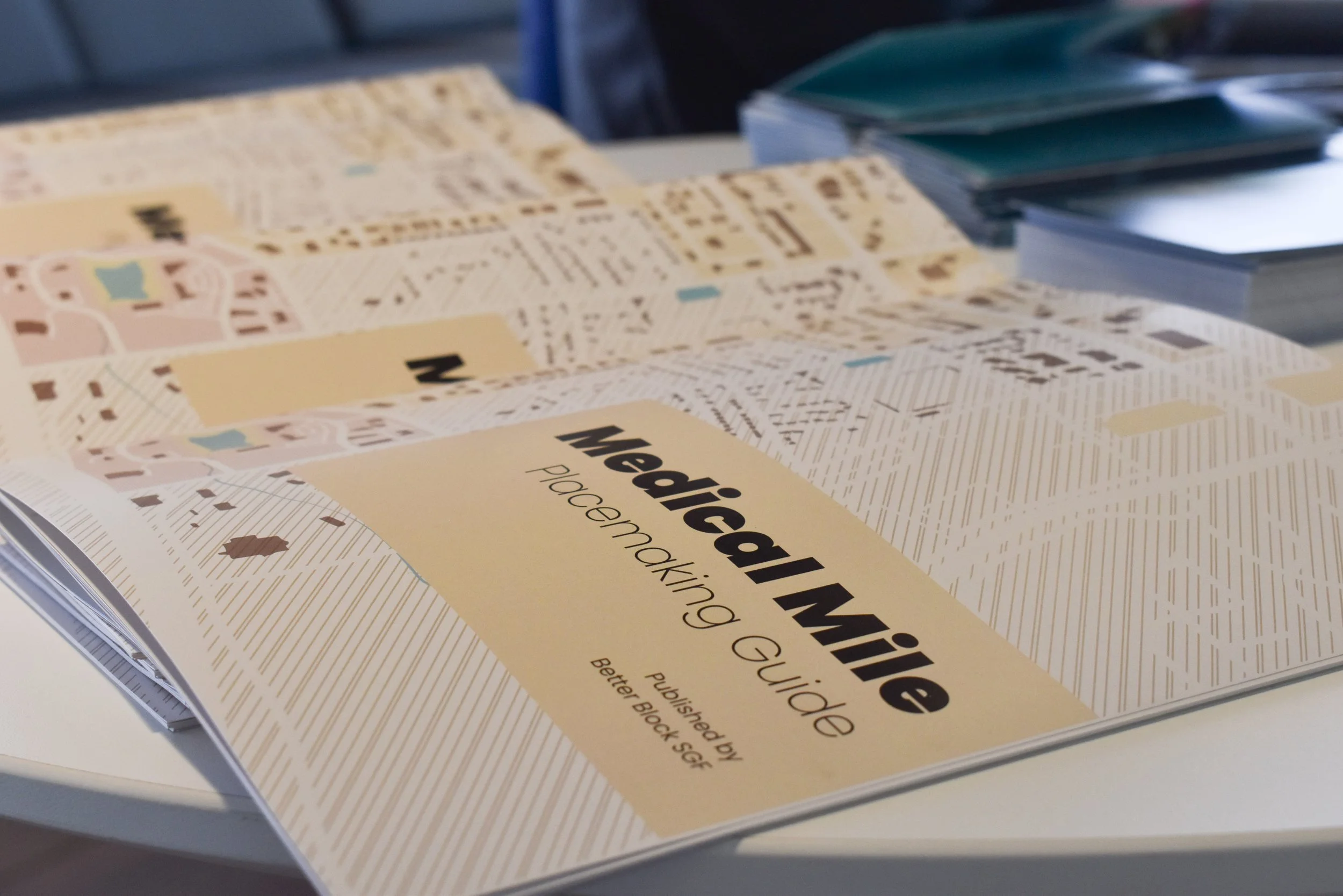
Better Block SGF proudly presents a placemaking guide for Springfield's Medical Mile district — the first of its kind! Designed by Stevie Bales, LLC, this free booklet is a road map for planning a successful placemaking project.
Inside you’ll find basic placemaking concepts as well as a Medical Mile location guide and essential insights from community members to help activate the placemaking process.